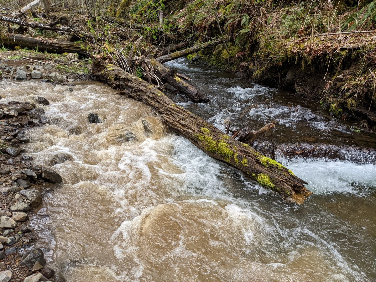
Photos: the landslide muddying North Fork Gales Creek
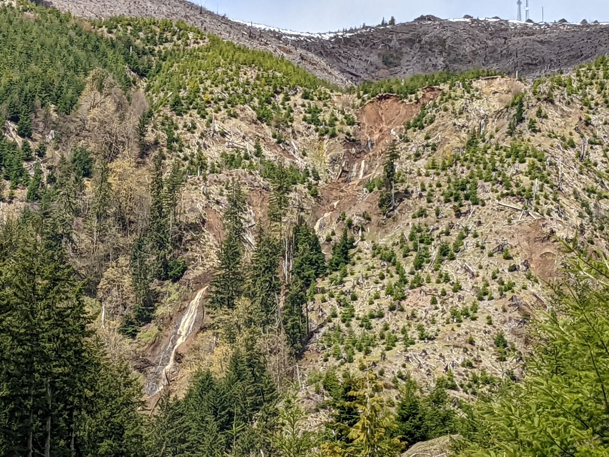
The cause of muddied waters, which could have negative effects on fish, drinking water, and irrigation in the Gales Creek area and into other parts of Washington County has been tracked to two large landslides located on the southeast slope of Round Top on Stimson land in the Tillamook Forest.
The cause of muddied waters, which could have negative effects on fish, drinking water, and irrigation in the Gales Creek area and into other parts of Washington County has been tracked to two large landslides located on the southeast slope of Round Top on Stimson land in the Tillamook Forest.
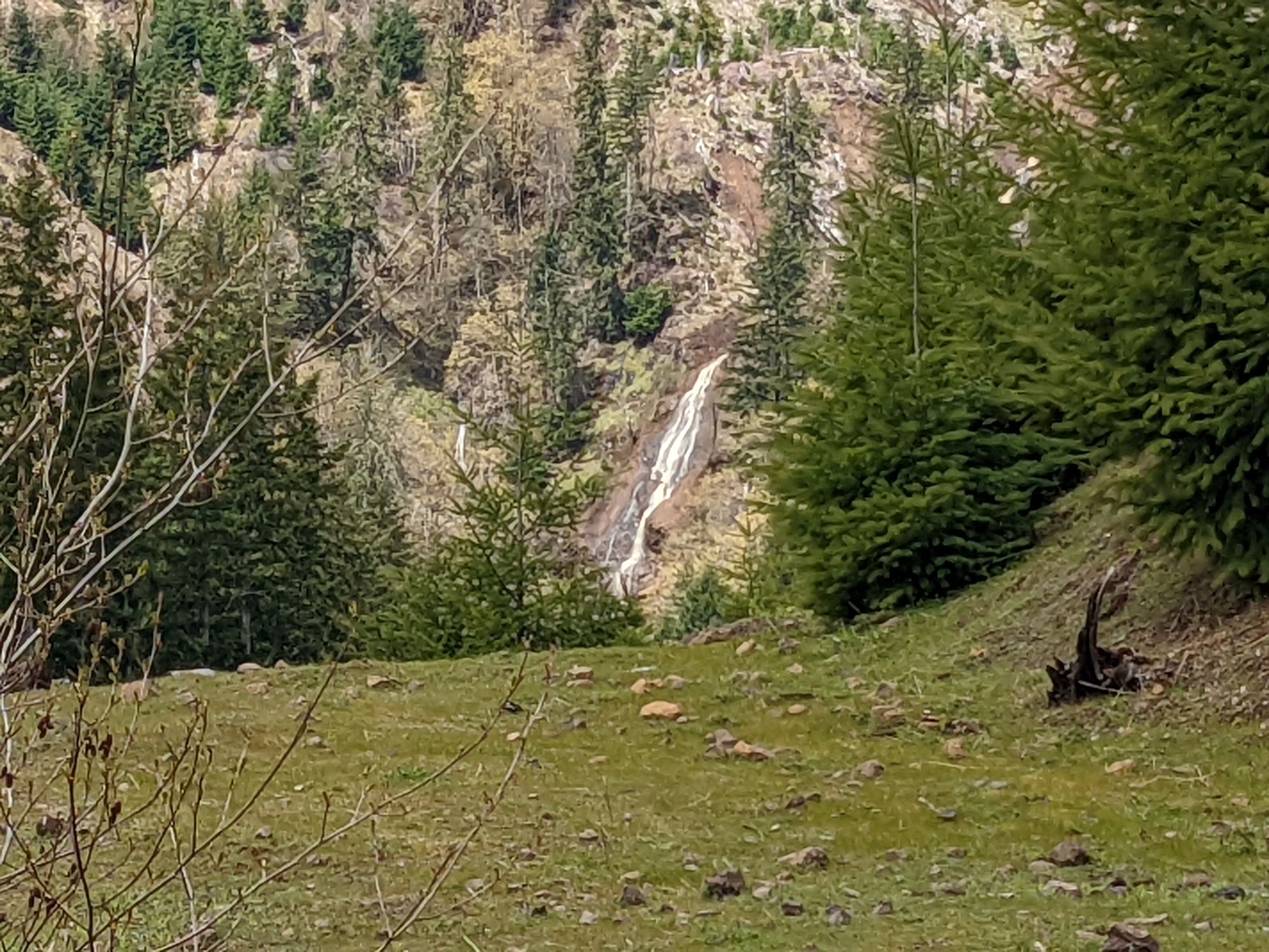
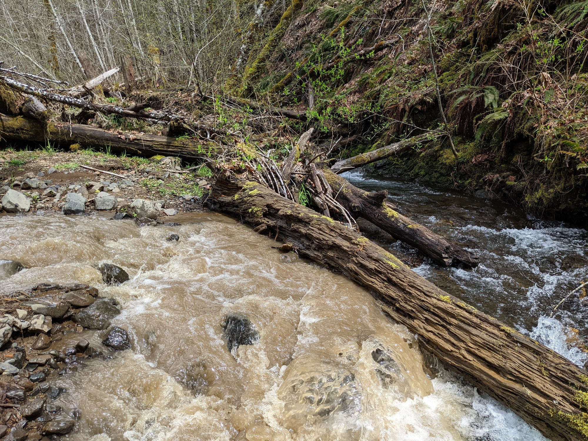
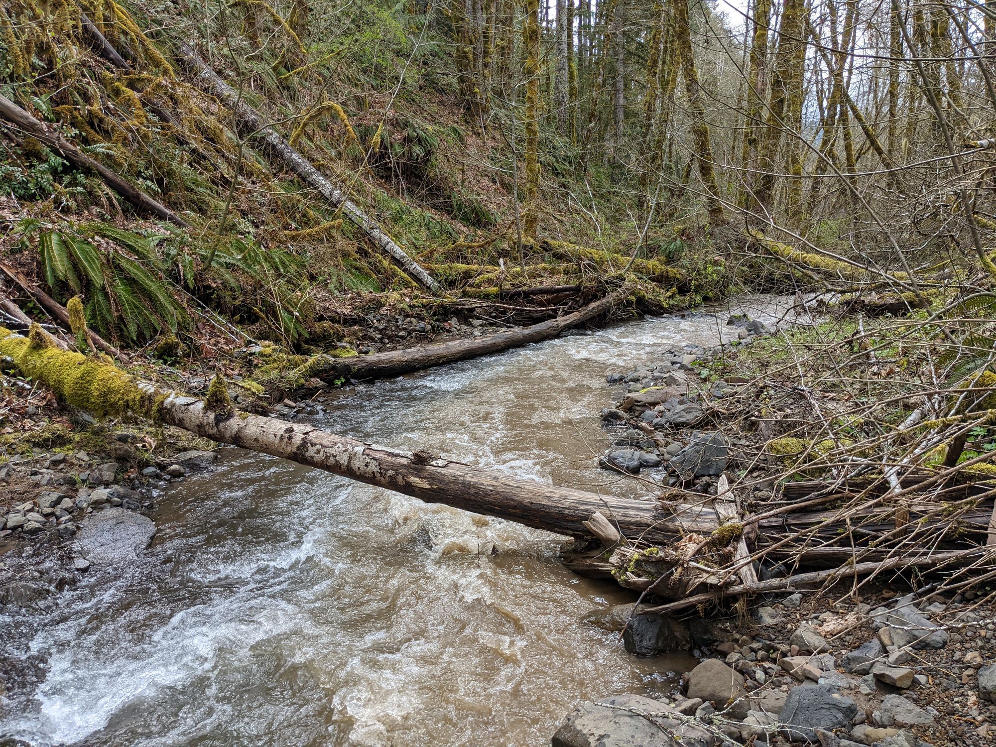
There, an unnamed tributary of North Fork Gales Creek forms a waterfall, plunging down the scarred mountainside over a fresh wound in a geography often shaped by landslides.
But while many landslides are largely inconsequential to humans, this one has caused a coalition of local and state government agencies and environmental nonprofits to take notice.
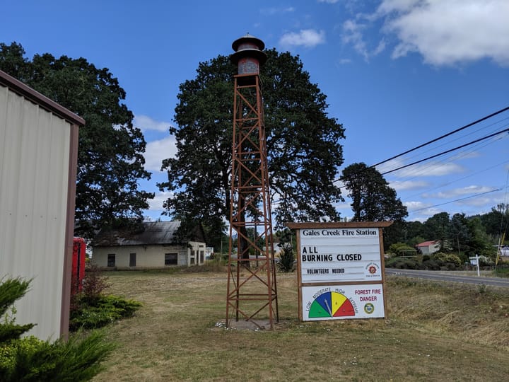
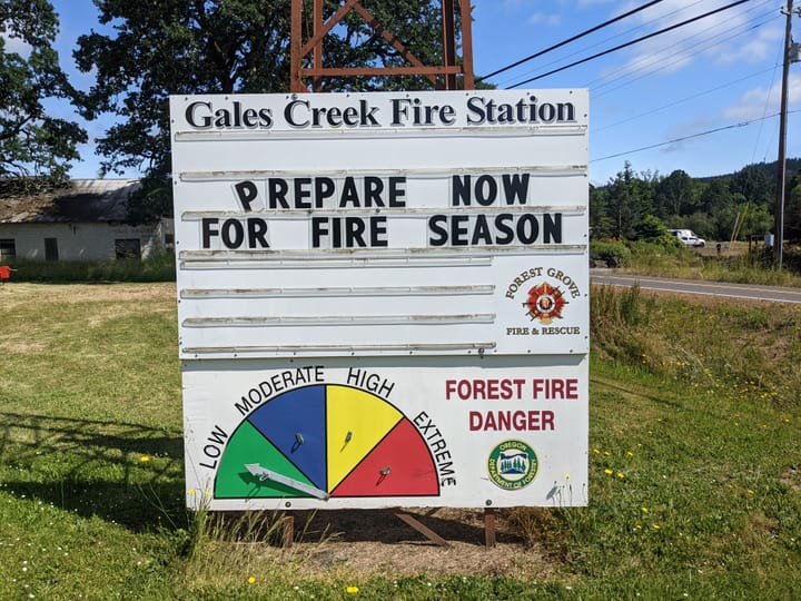
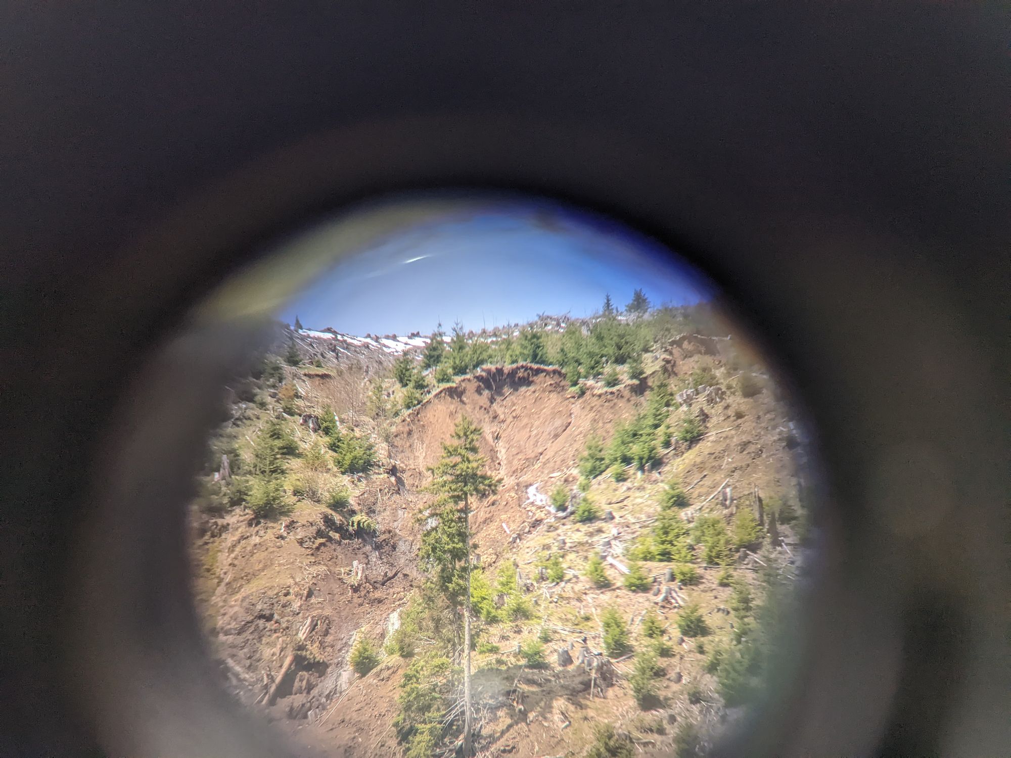
The impacts aren’t entirely clear yet, but the slide, located north of the Gales Creek Campground on Stimson Lumber land between two arms of the surrounding Tillamook State Forest, is a cause for concern with no short-term solution in site.
While a firm date of when the slides happened isn’t known, heavy rainfall in the latter portion of March likely caused the slides, located roughly 2,000 feet apart. With huge chunks of earth calving off intermittently—a process that could continue for years—and dropping into the tributary, which then feeds into North Fork, then into Gales Creek, and then into the Tualatin River, officials aren’t sure what’s next.
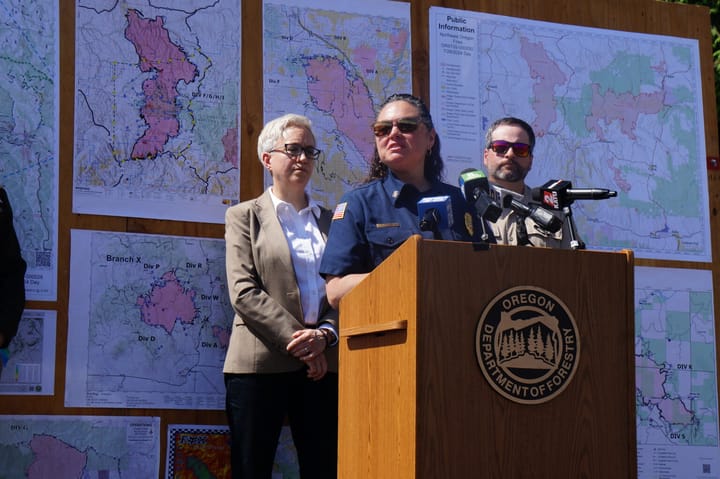
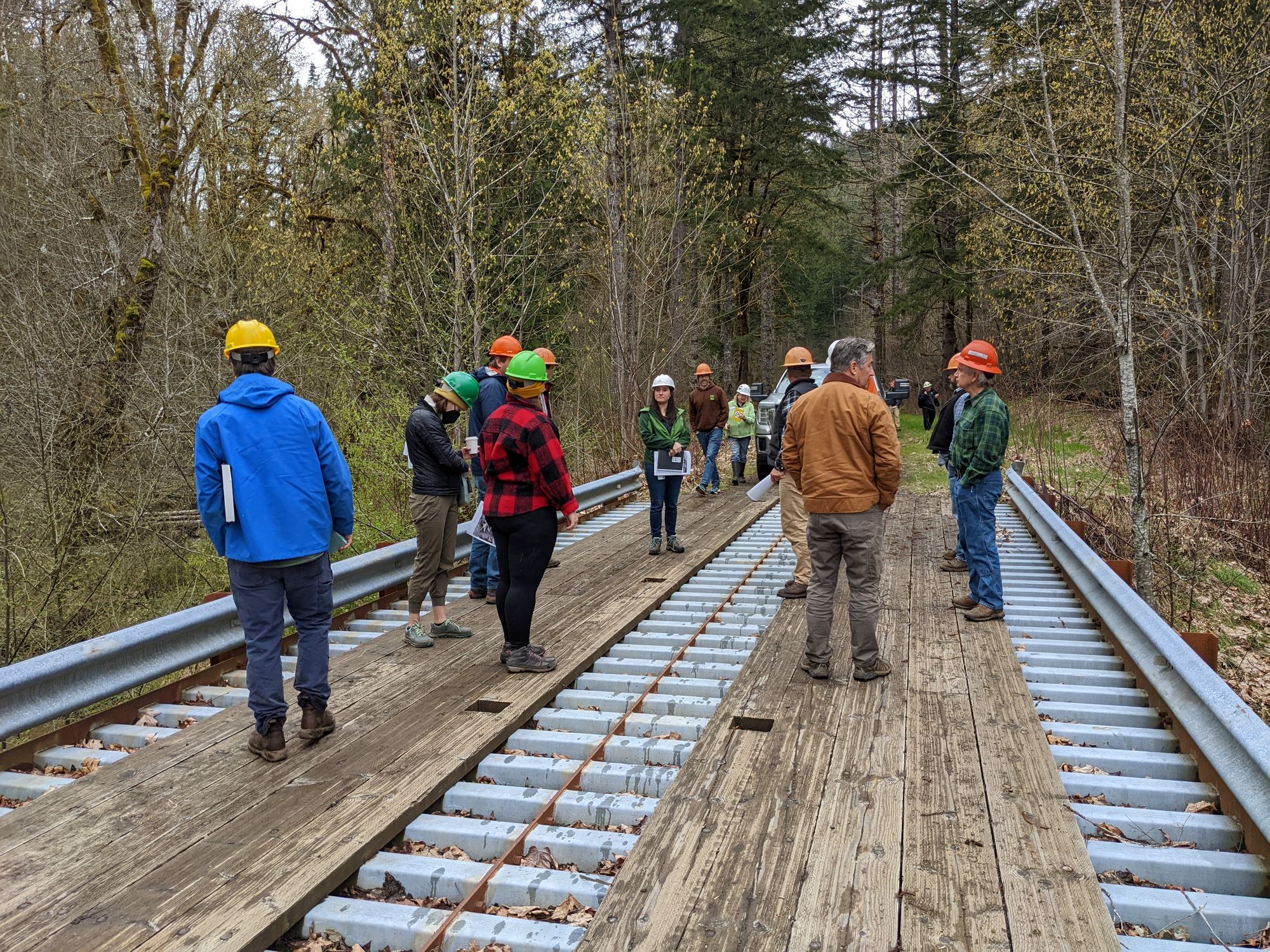
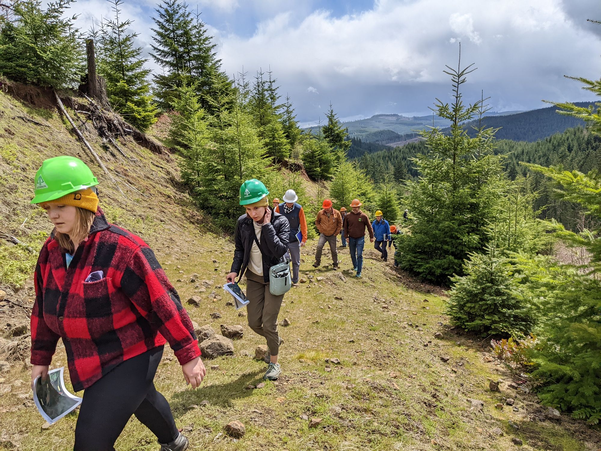
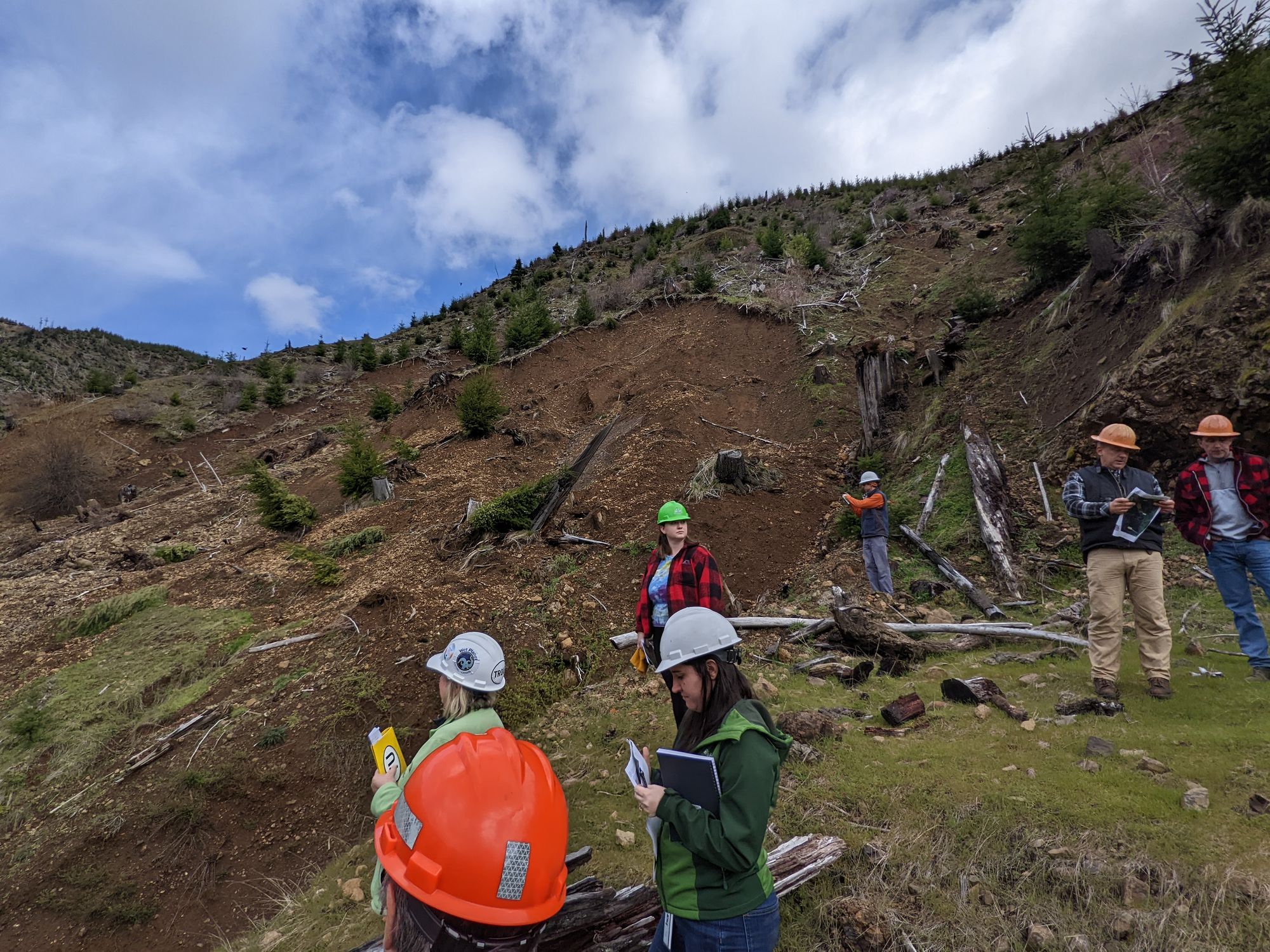
A contingent of officials from the Oregon Department of Forestry, Oregon Department of Fish & Wildlife, the Oregon Department of Environmental Quality, Washington County Land Use and Transportation, Tualatin Soil and Water Conservation District, the Joint Water Commission, Clean Water Services, the Tualatin River Watershed Council and the Tualatin Riverkeepers met with Stimson staff and drove and then trekked up a decommissioned logging road to view the slides on April 22.
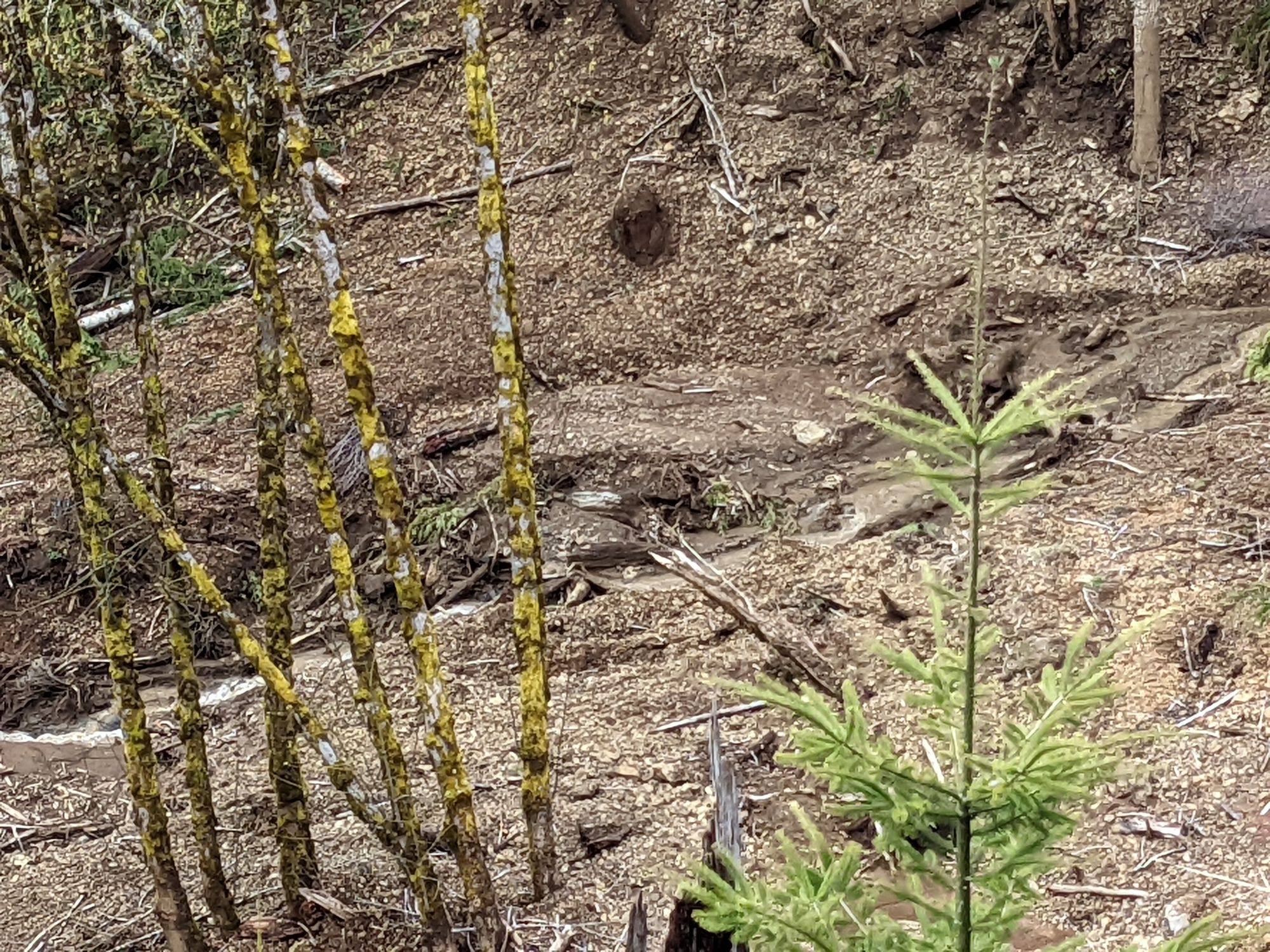
The scale of the larger, active slide is difficult to convey through photos or words. Further down the slope, fresh exposed earth and mangled trees spoke to the violence of the landslide that tore the earth open. A muddied creek, as-yet unnamed, flows through the landscape. Further downstream at its confluence with North Fork Gales Creek, the stream mixes with the clear waters in stark comparison; one side of the creek is clear, and the other muddy. A little ways downstream, prime fish-rearing habitat, enhanced by Oregon Watershed Enhancement Board funds, features federally listed native winter steelhead, non-native Coho salmon, and native cutthroat trout.
Scott McEwen, executive director for the Tualatin River Watershed Council said that the slides were a long term problem.
“Both the downcutting through the debris flow and the intermittent calving from the active slide will likely lead to continued turbidity for the coming months, and perhaps years,” he wrote in a report following the group’s trip to the site. The group is expected to continue to meet to determine next steps in grappling with the slide’s aftereffects and possible remediation strategies.